Trekking
Jomolhari Trek
Seven days on foot to the base of Jomolhari and over two passes close to 5,000 m, coming down a different valley to Thimphu.
Price on request

Trekking
Twelve days across the northern highlands, past Jomolhari and over Sinche La at 5,005 m to the yak-herding village of Laya.
The Laya–Gasa trek begins as the Jomolhari trek does, then keeps going north where that one turns for home. Beyond Lingshi it crosses three more high passes in three days, through country used only by yak herders, to reach Laya, one of the highest villages in Bhutan.
The Layaps have their own language and dress; the women wear conical hats of woven bamboo. A rest day in the village is the reward for the passes it takes to get there. The way out drops through forest to Gasa, known for its hot springs.
This is a long, hard trek at sustained altitude, and it is not a first trek. We say more about that under preparation below. The road has been pushed further towards Laya in recent years, and the official route now ends at the road head of Taktsi Makhang, so the last days may be shorter than described here.
Your guide meets you at the airport. The rest of the day is for settling in at 2,250 m: a visit to Rinpung Dzong and a walk through the town are enough.
The walk to Taktsang is the best preparation for the trek, taking you to about 3,100 m and back down to sleep low. Allow four to five hours. Your trek gear is checked in the evening.
A drive to the trailhead at Shana, then a long day up the forested valley of the Paro river.
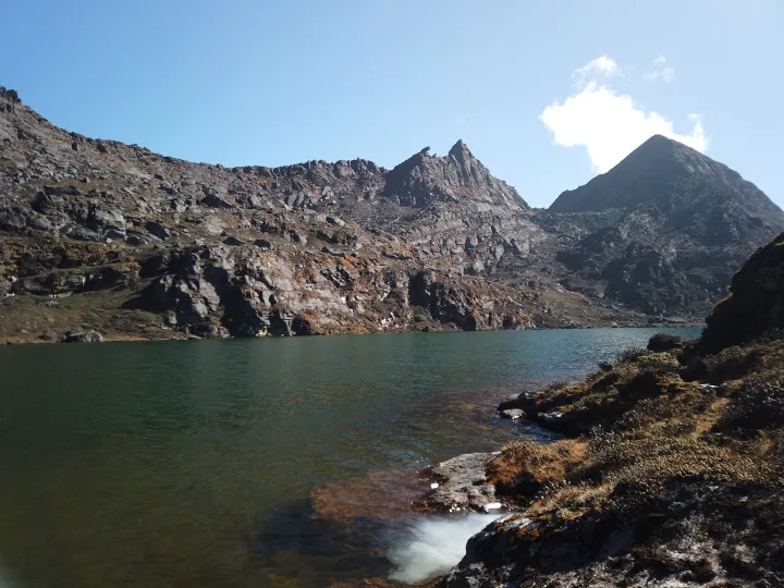
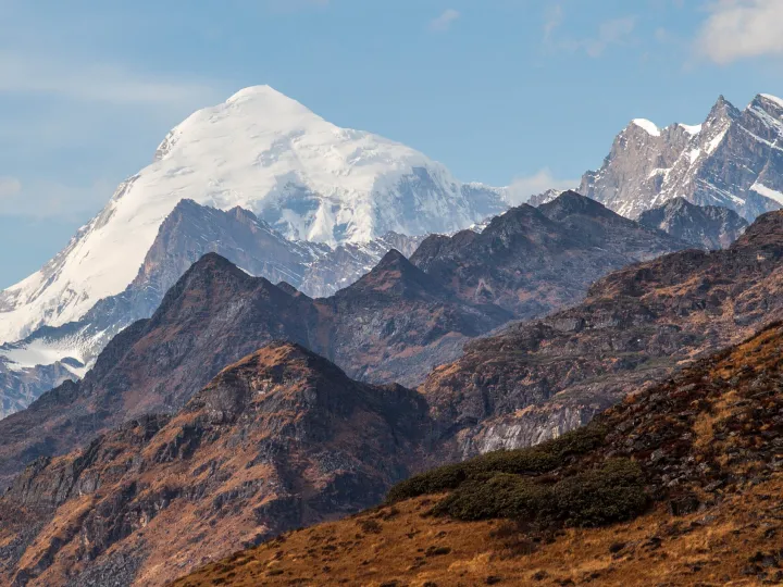
Above the tree line to the meadow of Jangothang, beneath the face of Jomolhari.
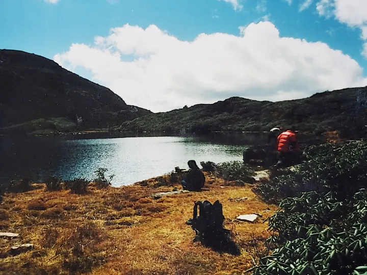
A rest day before the passes. A walk up the ridge towards Jichu Drake or to the Tshophu lakes helps you adjust; the afternoon is for doing nothing.
The first high pass, at about 4,870 m, and down into the valley of Lingshi with its hilltop dzong.
A short, easier day along the hillside, passing below Lingshi Dzong and through the village of Goyul to Chebisa, where a waterfall drops behind the houses.
A steep pull out of Chebisa to Gobu La, where blue sheep are sometimes seen above the trail, then down and up again to a camp at Shomuthang.
An early start for Jare La, then a descent to the valley of Tsharijathang, where herds of takin spend the summer, and a last climb to camp.
The highest day. A long, slow climb leads to Sinche La at 5,005 m. From the far side Gangchhenta, the Great Tiger Mountain, comes into view, and you camp in a meadow below it.
Downhill along the river and through forest to the stone houses of Laya.
A rest day. You can visit a Layap house, watch the yaks being brought in, or simply sit with a view of Gangchhenta and Masang Gang.
The trail leaves the high country behind, following the river down through forest.
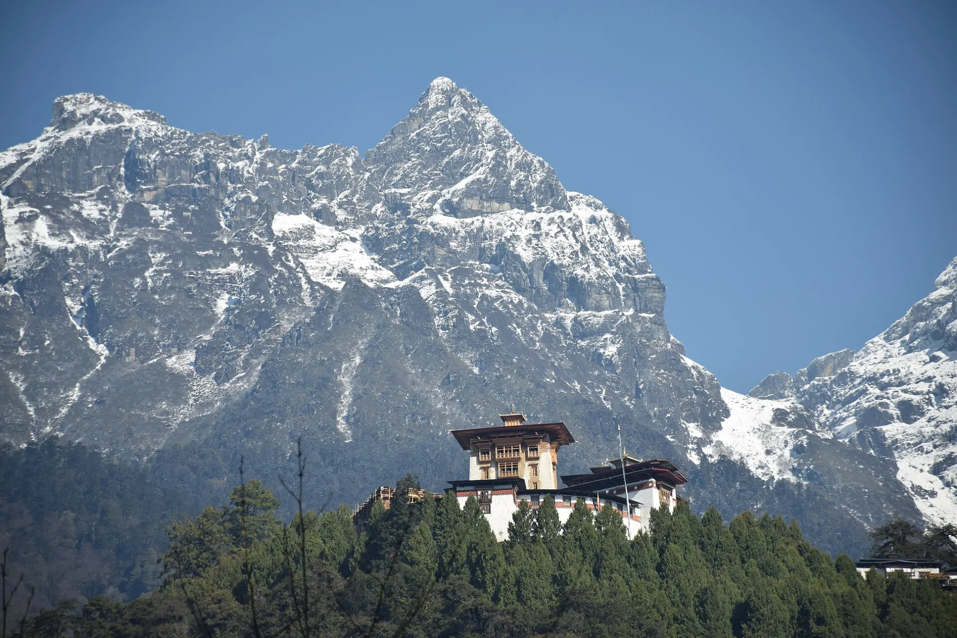
One last climb, to Bale La, and a long descent to Gasa, where the hot springs lie below the village and its dzong.
By road down the valley of the Mo Chhu to Punakha, where the air is warm and thick after two weeks high up. Punakha Dzong in the afternoon.
Over Dochu La and back to Paro.
Transfer to the airport for your flight.
Hotels in Paro and Punakha, and twelve nights in two-person tents on the trail.
Cooked meals on the trek, prepared by the camp cook, with tea brought to your tent in the morning. Boiled water is provided for your bottles.
A private vehicle with a driver between the airport, the hotels and the two ends of the trail.
A licensed trekking guide walks with you. The cook, helpers and horsemen go ahead to set up camp. Treks in Bhutan may only be undertaken with an accredited guide or operator.
Tents, sleeping mats, dining, kitchen and toilet tents, and all cooking gear. Your main bag is carried by the pack animals; you carry a day pack.
This route needs an army permit and a national-park permit as well as your visa. We apply for all three; allow extra time when booking.
Please do not book this as a first trek. It asks for twelve days of walking with four passes above 4,300 m and nine nights above 3,800 m, in country where the nearest road can be several days away. You should have completed a multi-day trek at altitude before, and know how your body behaves above 4,000 m. We will ask about your experience before accepting a booking. Take out insurance that covers helicopter evacuation, because walking out is not always possible.
On a cultural tour, rarely. Paro and Thimphu are at 2,200 to 2,350 m, where most visitors notice only shortness of breath on stairs for a day or two. The road passes are higher, at 3,100 to almost 4,000 m, but you cross them by vehicle and do not stay.
Treks are different. Camps on the Druk Path are above 3,500 m and the northern treks cross passes near 5,000 m. Our trek itineraries build in days to adjust, and your guide will take you down if you show signs of altitude sickness. If you have a heart or lung condition, speak to your doctor before booking any trip to Bhutan.
It depends on the trek. For Bumdra and Gangtey, anyone who walks regularly will manage. The Druk Path and the Dagala Thousand Lakes trek ask for five or six hours a day at up to 4,300 m.
The Jomolhari trek means seven or eight hours a day, with passes close to 5,000 m. Laya–Gasa and the Snowman are for people who have already trekked at altitude, and we ask about your experience before taking a booking. Each trek page says what it needs under "Fitness and preparation".
We provide the tents, sleeping mats, a dining tent, a kitchen tent and a toilet tent, and all the cooking gear, with a guide, a cook and helpers. Pack animals carry the baggage, so you walk with a day pack.
You bring your own boots, clothing and sleeping bag. Each trek page has a packing list.
It has not been compulsory since 23 April 2024, but the Department of Tourism strongly recommends it and so do we. Make sure it covers medical treatment and evacuation.
For a trek, check that the policy covers the altitude you will reach and rescue by helicopter.
More treks
Trekking
Seven days on foot to the base of Jomolhari and over two passes close to 5,000 m, coming down a different valley to Thimphu.
Price on request
Trekking
Five days through high yak pasture south of Thimphu, among the small lakes that give the trek its name.
Price on request
Trekking
Six days along the ridge between Paro and Thimphu, past a ruined dzong and a chain of high lakes, with Jomolhari on the skyline in clear weather.
Price on request
A few lines are enough: when, how long, and what draws you to Bhutan. We answer with a suggested route and what it would cost.
We reply ["within 24 hours"].